Pan Gulf Technologies Engineering Services

Airport & Metro Project

Sea-Bridge Freeway Project
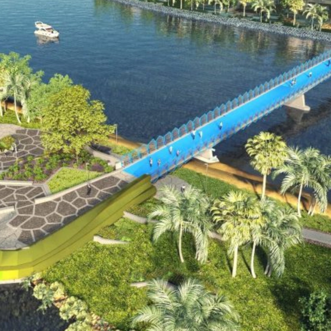
Pedestrian Bridge Project

Railway Bridge Project

STW Green Recovery

FAT Village Project
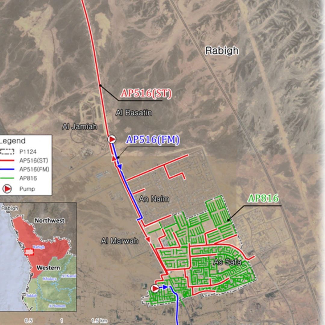
Sewer collection system Design
