Pan Gulf Technologies Engineering Services

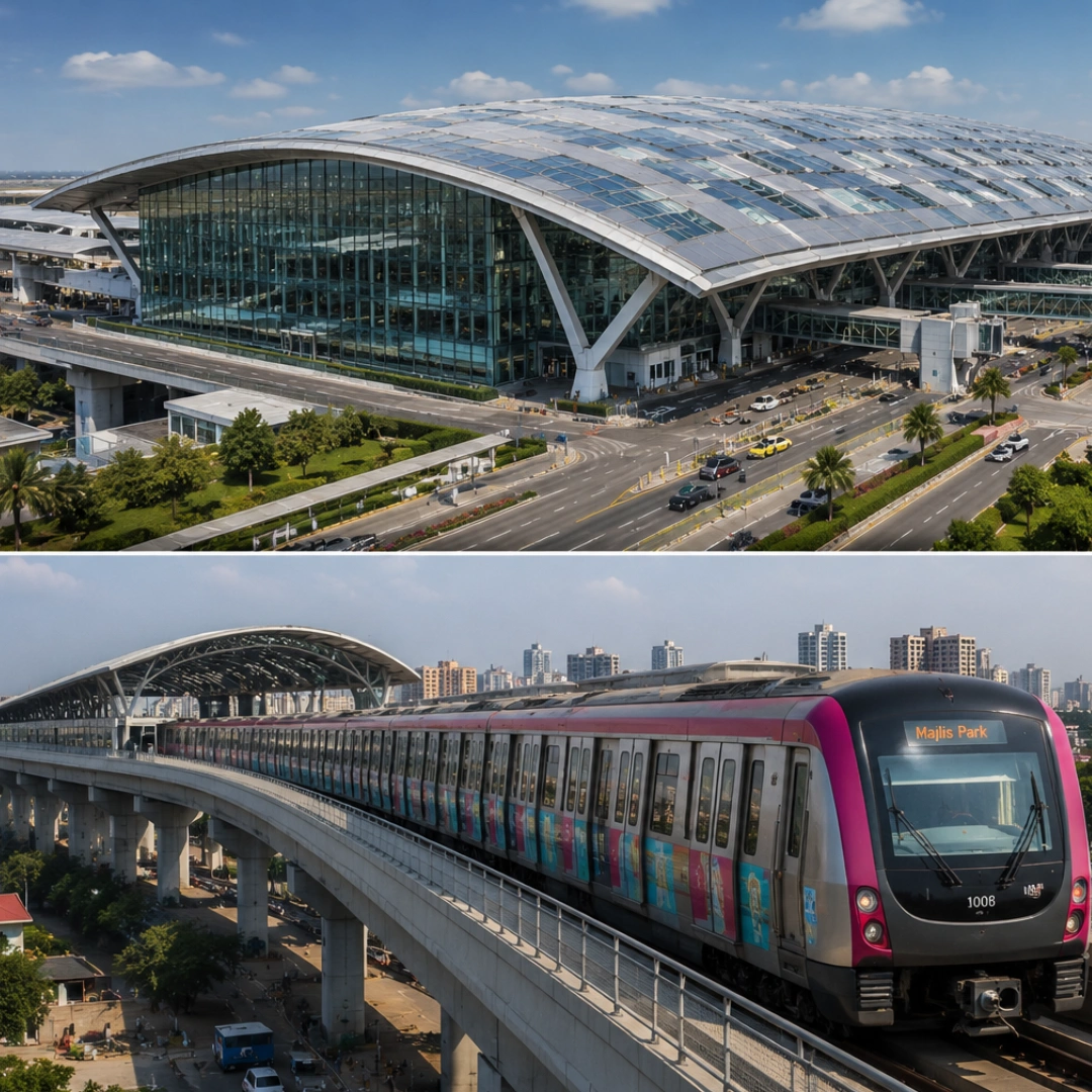
Airport & Metro Project

Sea-Bridge Freeway Project
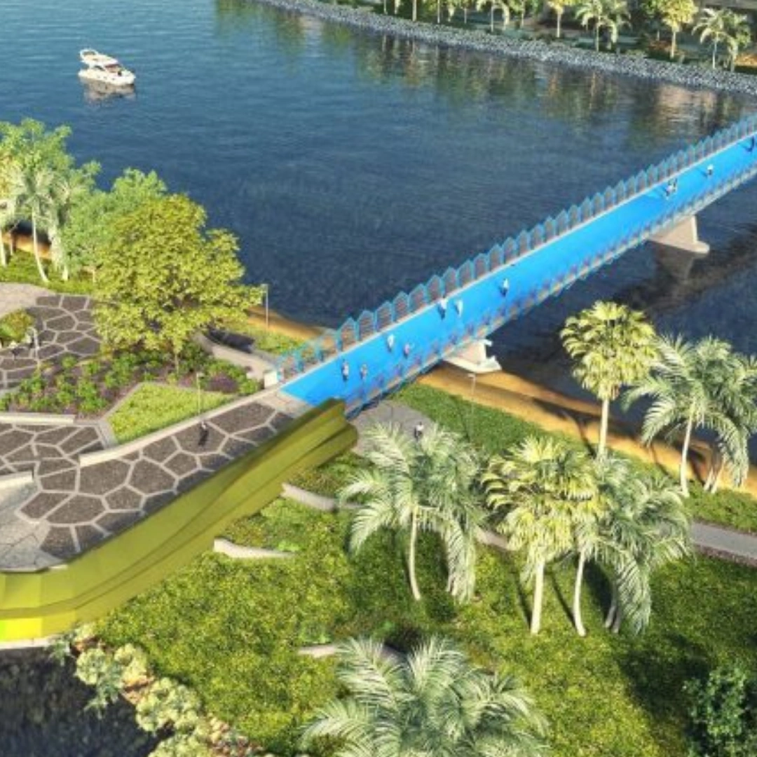
Pedestrian Bridge Project
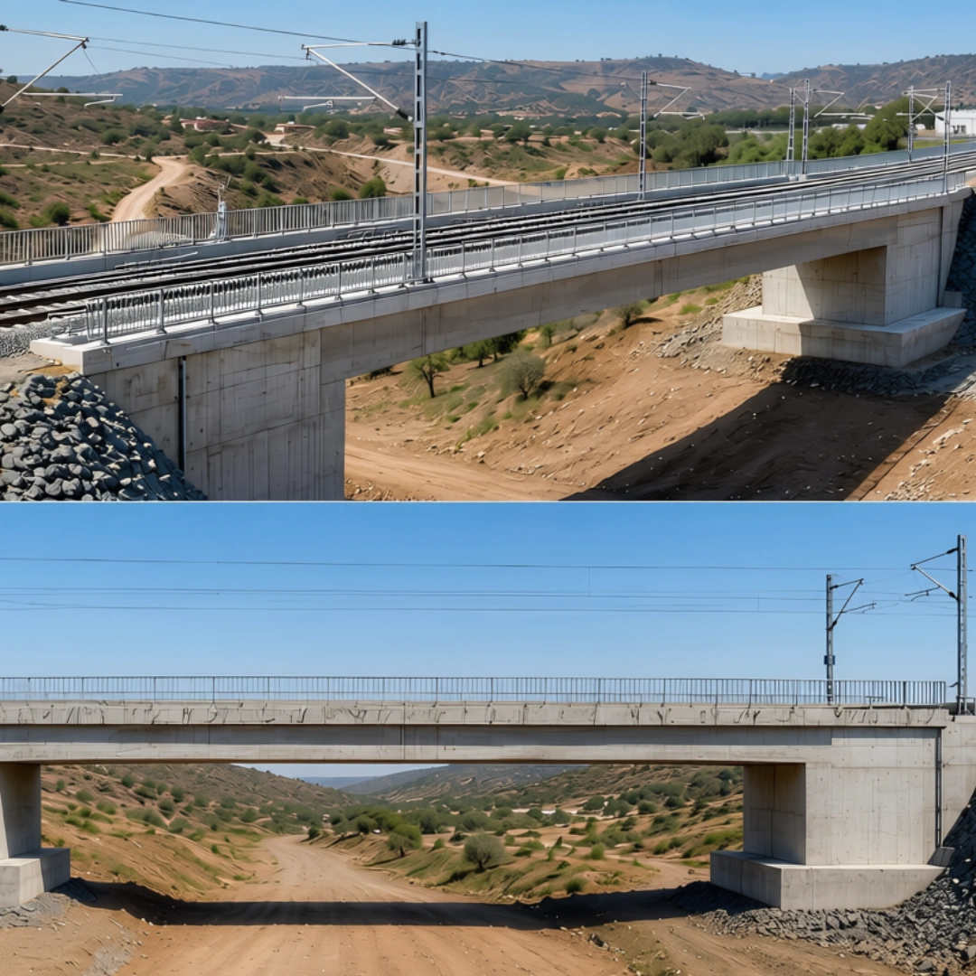
Railway Bridge Project
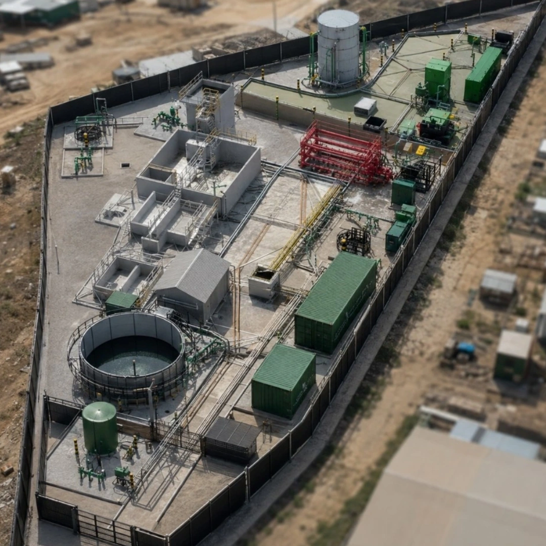
STW Green Recovery
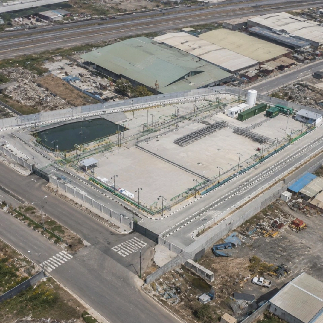
FAT Village Project
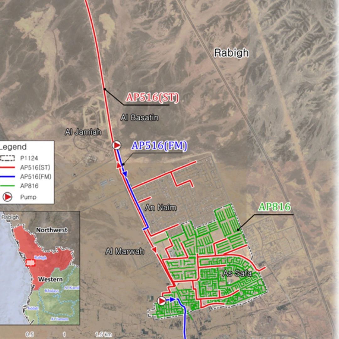
Sewer collection system Design

Pan Gulf Technologies Engineering Services
Using digital models of existing and proposed roads and utilities, we perform comprehensive spatial coordination to ensure all infrastructure elements are properly integrated and potential clashes are identified and resolved. Our coordination process covers multiple utility networks and civil components, helping improve design accuracy, reduce conflicts, and support smoother project execution.
We produce coordinated engineering drawings, including road plans and profiles, sections, grading plans, pipe profiles, and other required civil infrastructure deliverables. Once the services are fully coordinated, we extract accurate quantities for the modeled civil elements, supporting estimation, planning, and project documentation.
Through collaborative workflows, we leverage industry-standard tools such as Civil 3D, Revit, InfraWorks, Navisworks, BIM 360, and other advanced platforms to deliver coordinated, reliable, and efficient civil engineering solutions.